Deploying enterprise-grade satellite tracking and localized ocean freight monitoring platforms fine-tuned for Solomon Islands maritime corridors and regional Pacific hub operations.

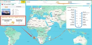
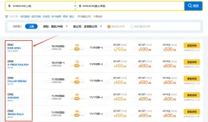
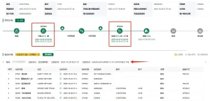
Noro, situated in the Western Province of the Solomon Islands (Latitude 8.2343° S, Longitude 157.1994° E), serves as the indispensable secondary commercial deep-water port and industrial heartland of the nation. Unlike administrative gateways, Noro is a specialized, high-throughput maritime node heavily defined by tuna processing and canning (anchored by SolTuna), sustainable forestry exports, agricultural copra logistics, and crucial inter-island infrastructure supply routes. Due to its strategic geography in the New Georgia Group, Noro acts as the primary oceanic transshipment conduit for both regional feeder networks and direct long-haul oceanic shipping corridors linking Asia-Pacific manufacturing giants with Oceania.
However, operating ocean freight logistics in Noro presents unique geographical, meteorological, and infrastructure challenges. Feeder vessel scheduling across Pacific archipelagos is inherently volatile, subject to tropical cyclone seasonal disruptions, berth availability constraints at Noro Port, and frequent terrestrial AIS coverage blackouts across remote sea lanes. Cargo visibility gaps in this corridor frequently cause severe supply chain friction: unpredicted delays in raw material arrivals trigger costly manufacturing line downtime, while unmonitored reefer container shipments risk catastrophic cold-chain breaches for temperature-sensitive tuna exports bound for European, Japanese, and North American markets.
Traditional carrier-provided tracking fails in regional Pacific ports due to batch EDI status updates delayed by up to 48-72 hours. Modern logistics teams operating in Noro require low-latency hybrid AIS tracking (combining terrestrial sensors with Low-Earth Orbit satellite mesh networks) and direct container IoT sensor streams to eliminate dark transit windows between major transshipment hubs like Port Moresby, Brisbane, Suva, and Noro.
Vessels navigating inter-island channels around the Solomon Sea frequently drop off land-based tracking, creating multi-day intelligence voids for shore-side operations.
Solomon Islands' high humidity and ambient temperatures demand zero-tolerance reefer monitoring to prevent seafood spoilages during port quay dwell times.
Transshipment feeder vessels connecting Asian hub ports (Singapore, Ningbo, Shenzhen) to Noro experience cascading delays that render static ETAs obsolete.
Navigating maritime logistics in Noro requires strict adherence to local customs protocols governed by the Solomon Islands Customs and Excise Division (SICED) and operational mandates established by the Solomon Islands Ports Authority (SIPA). SIPA’s recent capital investments in modernizing Noro’s wharf infrastructure and container handling yard facilities necessitate a digitized approach to port gate tracking, container dwell monitoring, and customs clearance synchronization.
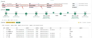
Trackingeyes’ dedicated shipment tracking platform integrates directly with local port status feeds and international maritime registries to ensure compliance with International Ship and Port Facility Security (ISPS) standards. By digitizing key milestone alerts—such as Vessel Arrival Notice (VAN), Port Opening Alert, Container Cut-off Times, and Out-of-Gate Dispatch—importers and freight forwarders in Noro avoid heavy demurrage charges and storage penalties often incurred due to administrative misalignment or delayed paper manifests.
Our platform provides automated manifest validation feeds that match bill of lading details with actual AIS vessel arrival timestamps. This enables local customs brokers in Noro to initiate pre-arrival processing, cutting customs release times from days to hours.
Exporting tuna and agricultural products from Noro requires rigorous temperature log auditing to meet EU, US FDA, and Australian biosecurity standards. Trackingeyes offers IoT-enabled telemetry tracking that logs continuous temperature, humidity, and door-open events inside containers.
As bilateral economic cooperation between China and the Solomon Islands deepens, China has become the predominant supplier of heavy machinery, solar energy equipment, structural steel, telecommunications infrastructure, and consumer goods destined for Western Province projects via Noro Port. Concurrently, global buyers from Europe, Japan, and North America depend on reliable, traceable inbound shipments of premium grade skipjack and yellowfin tuna sourced directly from Noro’s processing hubs.
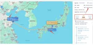
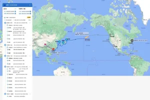
This bidirectional trade flow demands a unified tracking bridge. Factory floors in Guangdong, Zhejiang, and Jiangsu requiring seamless dispatch visibility can utilize Trackingeyes to track container movement from China inland factory gates, through departure terminals in Shanghai or Ningbo, across transshipment nodes, to final un-stacking at Noro Port. Global procurement managers gain unprecedented end-to-end visibility, mitigating risk across complex multi-carrier sea lanes.
Real-time alerts on cargo pickup failures, port cut-offs, and ocean transit legs prevent costly delays at destination ports and ensure contractually compliant delivery schedules for South Pacific buyers.
Granular visibility into tuna batch shipments with continuous reefer condition logs and automated proof of delivery, guaranteeing product integrity and ESG supply chain compliance.
Eliminates manual inquiry phone calls and emails to shipping lines by providing a single-pane-of-glass dashboard for all container and vessel movements arriving at Noro Port.
The maritime tracking industry is undergoing a structural paradigm shift from passive, milestone-based reporting to active, predictive, and sensor-driven intelligence. Four key macro-trends are redefining how logistics managers in Noro control their supply chains:
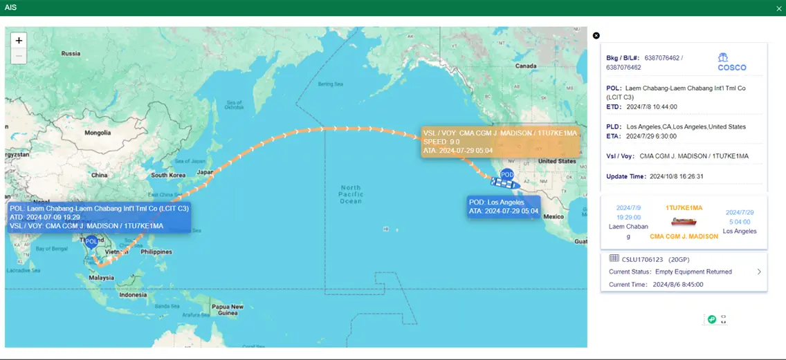
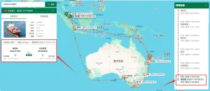
By combining low-orbit satellite AIS data streams with ground stations positioned throughout the Pacific, tracking updates drop from hours to minutes, even in open ocean transit zones near the Solomon Archipelago.
Algorithms analyzing historical vessel speeds, tropical weather patterns, seasonal port congestion at Noro, and carrier reliability calculate dynamic ETAs with over 99% accuracy, replacing static ocean carrier schedules.
Next-gen dry and reefer containers equipped with solar-assisted cell/sat trackers transmit real-time temperature, humidity, shock, and light penetration alerts, protecting high-value cargo.
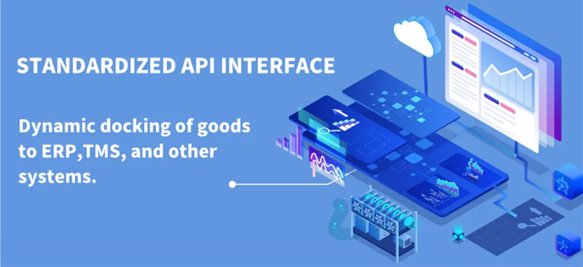
Logistics tracking is no longer isolated in carrier web portals. RESTful APIs push milestone updates directly into enterprise SAP, Oracle, and custom TMS platforms, automating workflow triggers.
Trackingeyes’ tracking architecture is customized to address the operational realities of businesses operating in Noro and surrounding Pacific logistics corridors:
Context: A seafood processing plant in Noro dispatches 20 reefer containers of processed tuna fillets to Tokyo via a feeder ship transferring at Suva.
Solution: Smart IoT sensors installed in reefers continuously feed temperature data into Trackingeyes. The system sends instant SMS/email triggers if temperature strays by ±1.5°C, ensuring compliance with international food safety standards before vessel loading.
Context: A construction contractor in Western Province is importing heavy excavator machinery and prefabricated steel structures from Shanghai to Noro.
Solution: Using Trackingeyes AIS vessel tracking and port opening alert algorithms, the project manager precise-coordinates crane rentals and transport flatbeds at Noro Port exact hours before ship berthing, eliminating costly vehicle idle times.
Context: A regional freight forwarder handles multi-leg feeder shipments connecting primary Pacific hubs with remote Solomon island outposts.
Solution: The automated sailing schedule & rate matching API synchronizes feeder ship positions, automatically recalibrating downstream arrival times for local island consignees.
Founded in 2015, Trackingeyes is a leading provider of global end-to-end logistics tracking and supply chain visualization solutions. With a founding team boasting over ten years of logistics expertise, we deeply understand industry pain points. We specialize in global end-to-end cargo tracking by sea and air, serving thousands of import and export enterprises worldwide. Our services include customizable tracking solutions and open API data interfaces to enhance supply chain visibility and operational efficiency.
The Trackingeyes platform achieves full chain data coverage from the source to the terminal through the collection and aggregation of data sources, including logistics information from various data sources such as stations, terminal, customs, shipping companies, and airlines. Through the Trackingeyes Platform, customers can quickly connect with hundreds of global data sources, greatly improving the efficiency and intelligence of logistics tracking.
Through API interface integration, the dynamics of goods can be automatically written back to internal systems and customer service systems of the enterprise, assisting global logistics enterprises, supply chain enterprises, cross-border e-commerce enterprises, software platforms and other enterprises to achieve more efficient and refined goods tracking management, and to do risk control and prediction in advance.
Expert insights into maritime tracking technologies, port operational strategies, and API implementation for South Pacific logistics hubs.
Explore our complete catalog of maritime AIS engines, sailing schedule APIs, loading time estimators, and ocean logistics visualization tools.
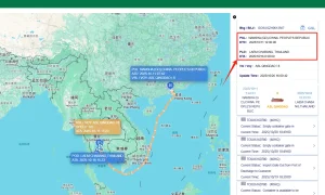
Connect with our global logistics tracking experts today to set up API access, schedule customized tracking demos, or optimize your South Pacific trade lanes.
Send Inquiry Now Trackingeyes